GEO&LAND LLC
CORS

Leading company for GIS, Software development, remote sensing and land management

GEO&LAND – Geo&Land is one of the largest companies in south east Europe specialized in Geo disciplines, such as GIS, Geoinformatics, software development, land administration, cadastre, agriculture ect . Recently, Geo&Land has implemented many national projects in Kosovo, few of them carried out for the first time in our country.

Over 17 Years of experience

We believe that integrity, collaboration, commitment, and professionalism are the core values that enable us to create the best working environment, in which passion, open-mindedness, and creativity are fostered.

+60

Completed Projects

Member of:

Copernicus Academy

Services

Telekomunication and early warning system

The integration of telecommunication networks with early warning systems enhances their effectiveness by:

  • Rapid Information Dissemination: Using mobile networks, internet, radio, and TV to quickly broadcast warnings.
  • Two-Way Communication: Allowing authorities to receive feedback and updates from affected areas.
  • Redundancy: Providing multiple channels to ensure information reaches all individuals, even if some systems fail.
  • Global Reach: Using satellite communications to reach remote or isolated communities.

Overall, the synergy between telecommunication and early warning systems is vital for minimizing the impact of natural disasters and protecting lives and property.

Land management and Cadastre

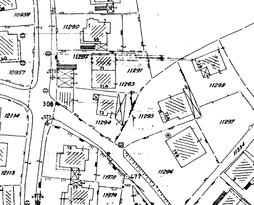
The role of land in the economy of each nation is not always obvious, but is of great
significance. Without secure land rights there can be no sustainable development, for
there will be little willingness to make long-term investments. Countries in transition
will, in particular, find it difficult to obtain some foreign investment. Modern cadastral information systems and appropriate legislation play an important role in the implementation of rule of law.

  • Land management services
  • Cadastral / Land Information System
  • Property rights and registration
  • Legislation and dispute
  • Expropriation
  • Land consolidation

Environmental Engineering and Disaster Management

Combining environmental engineering with disaster management enhances resilience and sustainability:

  • Infrastructure Resilience: Designing and building infrastructure that can withstand natural disasters, such as earthquakes, floods, and hurricanes.
  • Ecosystem-Based Approaches: Using natural systems (e.g., wetlands, mangroves) to mitigate disaster impacts.
  • Resource Management: Ensuring sustainable use of natural resources to prevent and reduce disaster risks.
  • Pollution Control: Managing industrial activities to prevent hazardous incidents and mitigate their effects on the environment and public health.
  • Climate Change Adaptation: Developing strategies to adapt to the impacts of climate change, which can increase the frequency and severity of natural disasters.

By integrating environmental engineering principles into disaster management practices, communities can better prepare for, respond to, and recover from disasters while maintaining environmental integrity and sustainability.

Agriculture and Forestry

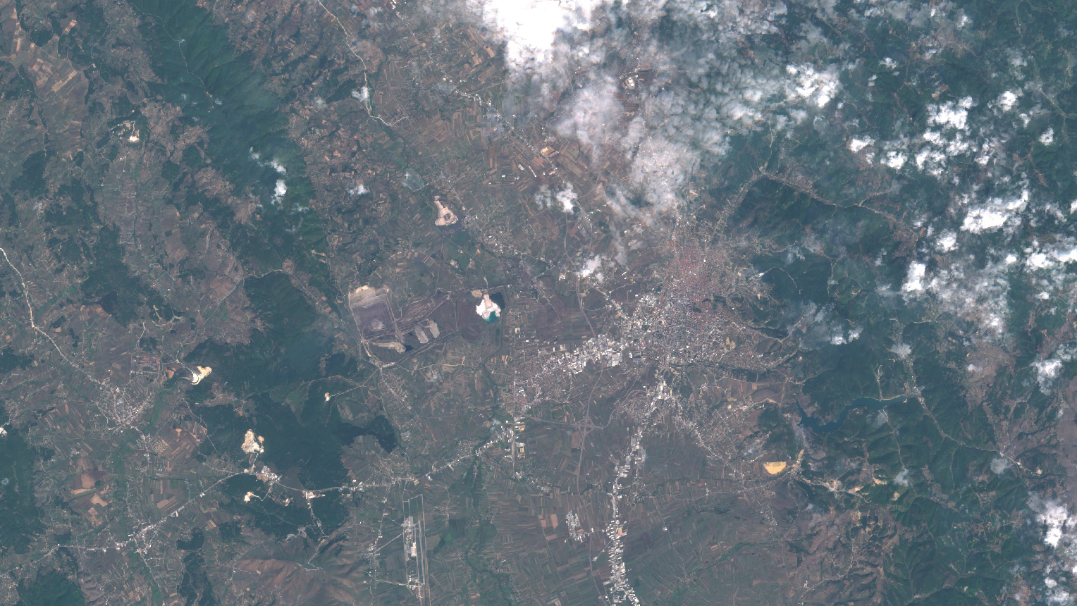
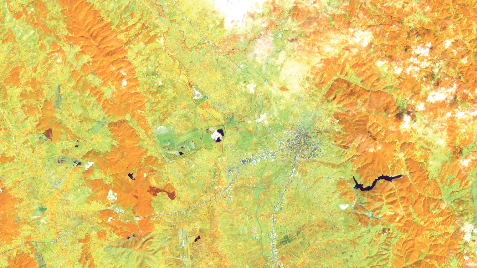
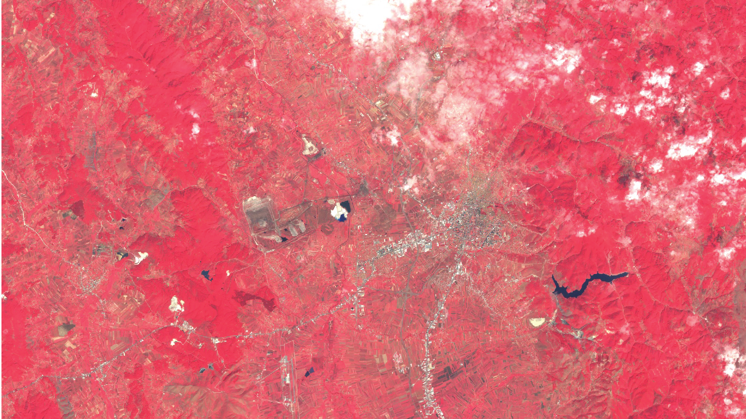
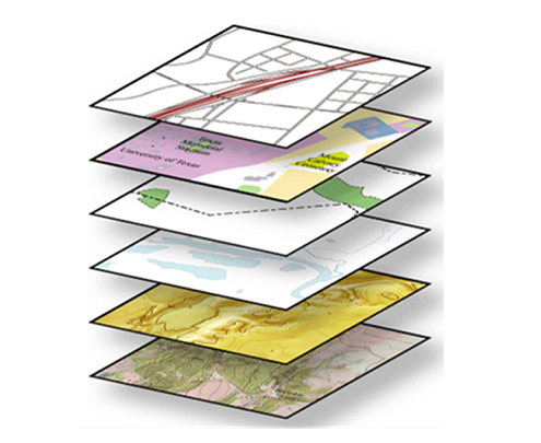
Reflection of various studies on relevant thematic maps.

GIS

Ecosystems management is an important subset of environmental management. Taking an ecosystems approach to environmental management represents significant progress. An ecosystems approach recognizes that natural processes go beyond administrative boundaries and will entail transboundary management of shared ecosystems. While multiple definitions of ecosystem management exist, its practice encompasses two common objectives: (a) management should maintain or improve ecosystems, and (b) ecosystems should provide a range of goods and services to current and future generations.

Mapping and Remote Sensing

The role of land in the economy of each nation is not always obvious, but is of great
significance. Without secure land rights there can be no sustainable development, for
there will be little willingness to make long-term investments. Countries in transition
will, in particular, find it difficult to obtain some foreign investment. Modern cadastral information systems and appropriate legislation play an important role in the implementation of rule of law.

  • Land management services
  • Cadastral / Land Information System
  • Property rights and registration
  • Legislation and dispute
  • Expropriation
  • Land consolidation

Software development

Ecosystems management is an important subset of environmental management. Taking an ecosystems approach to environmental management represents significant progress. An ecosystems approach recognizes that natural processes go beyond administrative boundaries and will entail transboundary management of shared ecosystems. While multiple definitions of ecosystem management exist, its practice encompasses two common objectives: (a) management should maintain or improve ecosystems, and (b) ecosystems should provide a range of goods and services to current and future generations.

Aerial Data Collection – UAV Surveying

The role of land in the economy of each nation is not always obvious, but is of great
significance. Without secure land rights there can be no sustainable development, for
there will be little willingness to make long-term investments. Countries in transition
will, in particular, find it difficult to obtain some foreign investment. Modern cadastral information systems and appropriate legislation play an important role in the implementation of rule of law.

  • Land management services
  • Cadastral / Land Information System
  • Property rights and registration
  • Legislation and dispute
  • Expropriation
  • Land consolidation

Who can benefit from Earth Observation Institute

RESEARCH INSTITUTIONS
PUBLIC AUTHORITIES
ACADEMIA
INDUSTRY
STARTUPS
INVESTORS

What’s Coming NExt

Stay connected with us in order not to miss the nest new’s

Observe your world

Earth Observation Institute

About Us

Who We Are

Geo&Land is one of the largest companies in south east Europe specialized in Geo disciplines, such as GIS, land administration, cadastre, agriculture and software development. Recently, Geo&Land has implemented many national projects in Kosovo, few of them carried out for the first time in our country.


What We Do

Geo&Land remains a leader in a national level in the fields it offers services in. To achieve and maintain this position, all staff members of Geo&Land continuously raise their education and professional level of knowledge. And they use it to work hard and dedicate themselves to build this company. From a small company, today Geo&Land has increased to a company that offers services to a range of clients, including foreign companies and organizations. Not only has our company increased geographically, it has also expanded the range of services it provides.

This exponential growth reflects the commitment of our company and the seriousness with which we work. The continuing expansion of our client list also reflects the credibility we enjoy in the market. Our path towards success has been challenging, but it is these challenges that have shaped us into the best provider of geodetic services in Kosovo. We let our success speak for itself. That is why a look at our projects page tells you why you should choose us.

.

.

.

  • Department of Remote Sensing

  • Department of GIS

  • Department of land management, property rights and cadastre

  • Department of Environmental Engineering

  • Laboratory of Geodesy

Why GEOLAND?

Our mission is to provide accurate and reliable data based on various observations. These data gives necessary information on different topics. Planning, analysis, monitoring, research, studies, assessments, design, visualization, reports are just some of our services to ensure the most accurate management:

  • remote sensing,
  • forecast and real time climate information,
  • research to improve predictions, preparation and response for disaster management,
  • monitoring and analyses of forestry ,
  • agriculture management,
  • discover, develop and demonstrate of water recourses,
  • creating of thematic maps with large amount of data, etc.

Blog / News

© Copyright - Geo&Land LLC